Quantix™ Recon
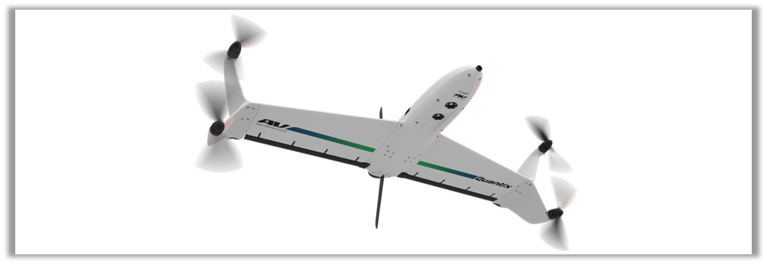
Quantix™ Recon is a powerful, simple-to-use UAV that delivers rapid, automated reconnaissance and hands-free data collection. Mapping and scouting tasks are effortless with its fully-automated takeoff, flight and landing functions—even first-time users can successfully operate it. With its Radio Frequency (RF) Silent Mode, Quantix™ Recon flies undetected and undeterred by jammers to deliver accurate, up-to-date maps within minutes for quick mission planning and verification.
Its on-board processing provides georeferenced, high-resolution imagery on the user’s tablet as soon as Quantix™ Recon lands—no other devices, internet or software required. Due to its innovative hybrid design, Quantix Recon outperforms traditional quadcopters in range and efficiency. That means you can cover more ground faster and obtain aerial maps of remote, inaccessible areas and rapidly changing environments to ensure the safety of ground troops.
- Fully automated—hands free data collection
- View high-resolution, georeferenced images instantly on the operating tablet upon landing
- RF Silent mode—prevent detection & jamming
- Flexible mapping modes—Area, Waypoint, Linear
- Ready to fly—deploy within 5 minutes
Specifications
| Max Flight Time | 45 minutes |
|---|---|
| Range | 2 km radio limit (up to 40 km without radio link) |
| Mission Coverage | Linear: 20 km roundtrip (out & back); 40 km one way max. Area: 3.24 km2 max. @ 800 ft |
| Propulsion | 4 direct electric drive motors |
| Weight (GTOW) | 2.3 kg (5 lb) |
| Max Altitude | 7,500 ft (2,286 m) MSL (Density Altitude) |
| Wind Limit | 20 mph (9 m/s) |
| Data Storage | On-board SD card |
| Communications | 900 MHz Encrypted & WiFi |
| Navigation | Automatic navigation—Area, Waypoint, Linear |
| Temperature | 0–120 °F (-17–49 °C) |
| Takeoff & Landing | Vertical takeoff and landing (VTOL) |
Brochure
 |